Hey Steemians
As you may well know, I recently returned from a 14 day trek in the Himalaya. The itinerary for this comprised of flying in from Kathmandu to Lukla (the most dangerous airport in the workd - but more on that later), meeting our porter and guide and then trekking to Everest Base Camp via Gokyo, The Cho La Pass and Gorak Shep. Needless to say, things did not turn out quite as expected.
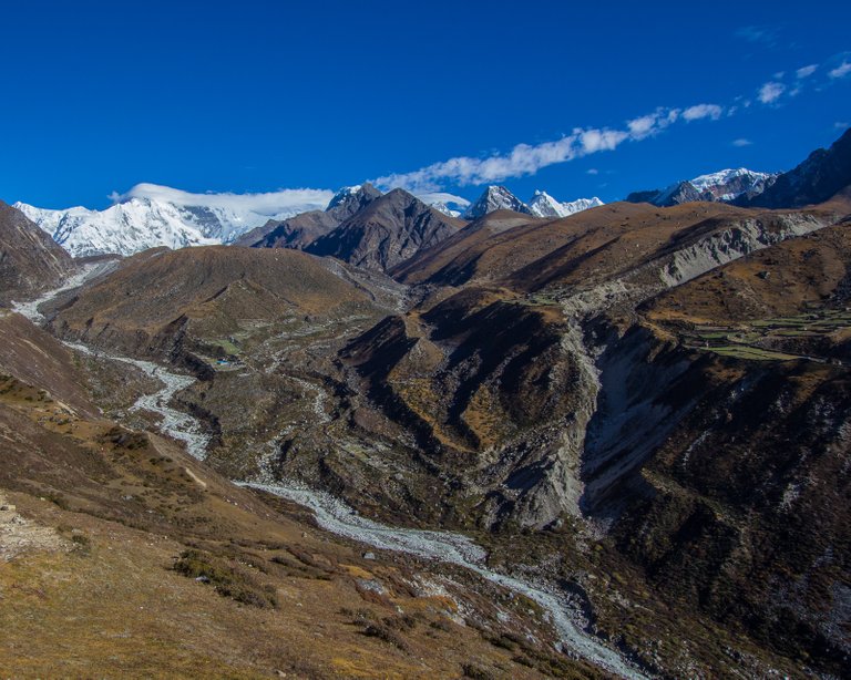
I'm going to write the account in a few parts, just to reduce the size of each one to make it easier to read, although I am not going to post a day by day account of what happenned with a single post for each day - mainly because I am old and cannot remember what we did every single day.
I have to say I was nervous about flying into Lukla. It's safety record isn't great. The runway is on a 12% incline (which helps the slowing of the plane when landing and gives the planes a bit more speed to take off when they are rolling downhill). It's only a few hundred meters long and the pilots basically have to fly blind in the valley and then bank sharp right to point at the runway. They can only land in the daytime and when the weather conditions are perfect. We were lucky to get in from Kathmandu to be honest; we had to wait nearly 6 hours at Kathmandu airport for a flight and when we did get one, it was pretty cloudy out there. It turned out that our flight was the last one of the day and we finally got into Lukla at about 3pm.

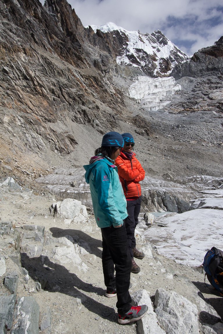
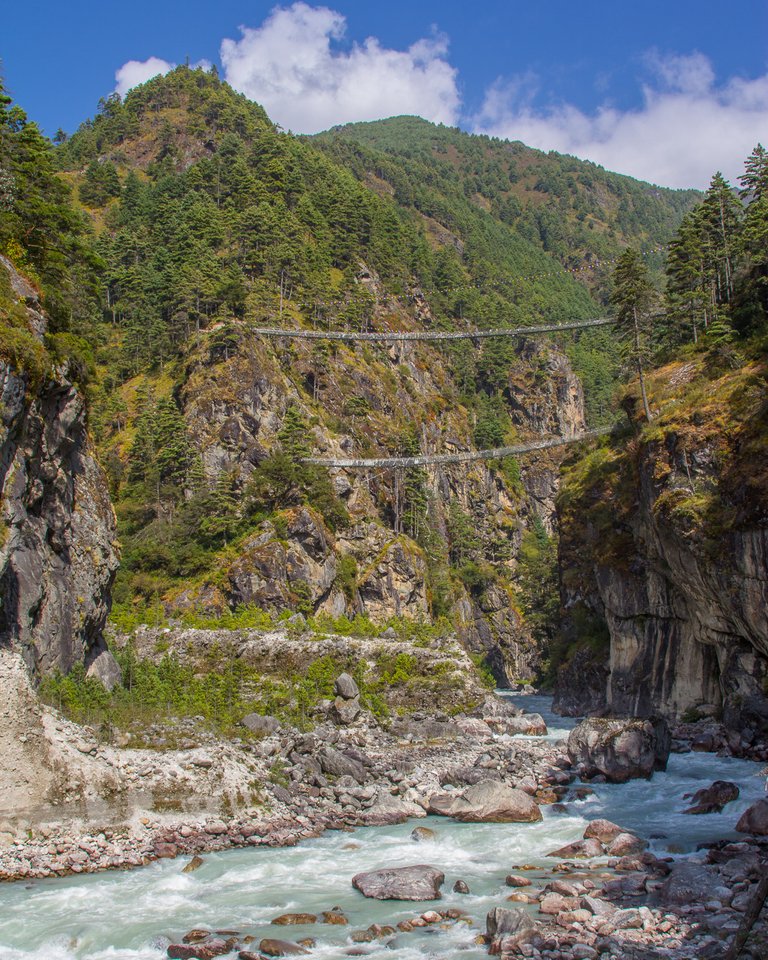
After grabbing our bags, we met up with our guide, Laden, and our porter, Milan and we trotted off to grab a quick bite to eat before our first trek to Phakding. This was a 5 mile hike and took us about 2.5 hours. It's mostly downhill, so wasn't too strenuous for our first hike in anger. We had our first encounter with the traditional Nepalese suspension bridges. I have a bit of a phobia of bridges so this was not the most fun experience that ive ever had, but I managed to navigate over without killing/crapping myself. However, i did nearly manage to kill myself by falling down a set of stone steps in a little village between Lukla and Phakding. Luckily, I landed on my back and my bag protected me. Falling forwards would have ended up with me having a whole different story to tell.
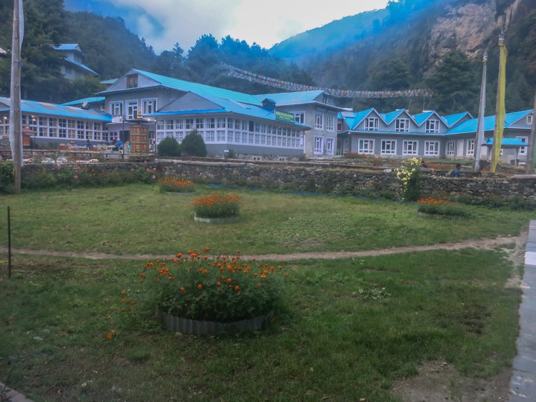
Phakding was a nice little village although the room in the teahouse was pretty damp and cold. Nepali teahouses tend to be built from very thin plywood and don't have much ventilation. It was really quite noisy - you could hear everything that everyone else was doing in all the rooms around you - thankfully everyone appeared to be too tired to get amourous :D. I'd recommend taking ear plugs if you are ever going to stay in a Nepali tea house though..
At this point I should tell you about Mo-Mos. This is a Nepalese meal of steamed or deep fried dumplings that contain either vegetable, chicken or potato and cheese and they come with a spicy tomato dipping sauce. They became my favourite meal, especially the deep fried potato and cheese ones. I think I had chicken ones at Phakding. They were good. I swilled them down with an Everest beer and everything was feeling good, ready for tomorrow's long, hard trek to Namche Bazaar.

And boy was it a hard trek. Out of all of the days, for me it was the second hardest. It was pretty much 9 hours of steps upwards - it was like the stairmaster from hell and by the end of it we were both exhausted.
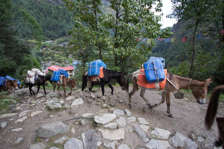
Namche Bazaar was a really great place and worth the effort to get there. It's the biggest town on the Everest trail and is the last place you can get pretty much anything you need before you wander out into the vast expanse of nothing but long drops and cold water showers.
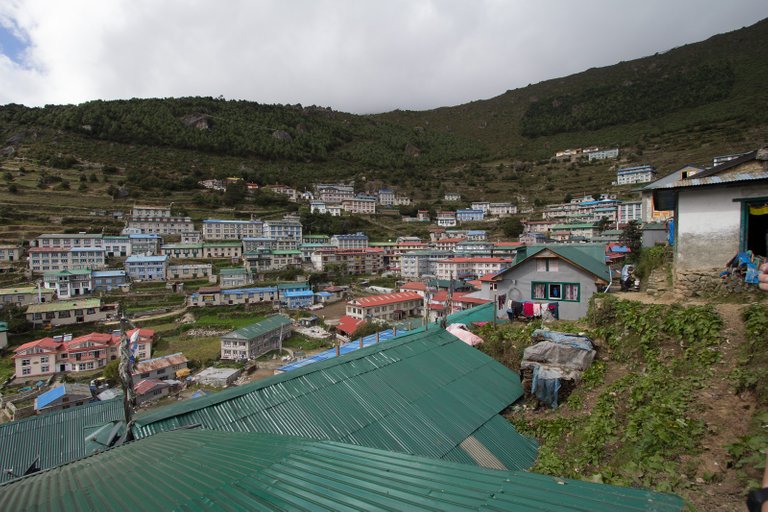
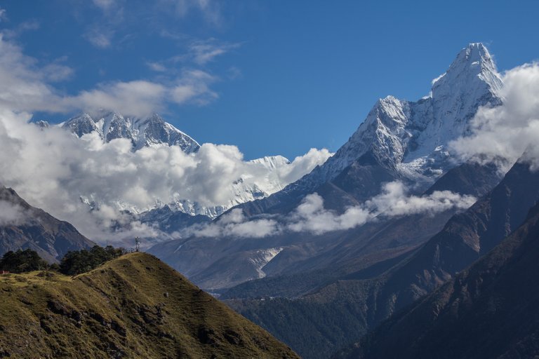
We did spend a bit of time doing some shopping for an afternoon before heading out on an acclimitisation trek the following morning to Everest View Hotel. Unfortunately, we didn't get to see Everest from the Everest View Hotel as it was surrounded in cloud, but we did get some amazing views of Ama Dablam and Lhotse.
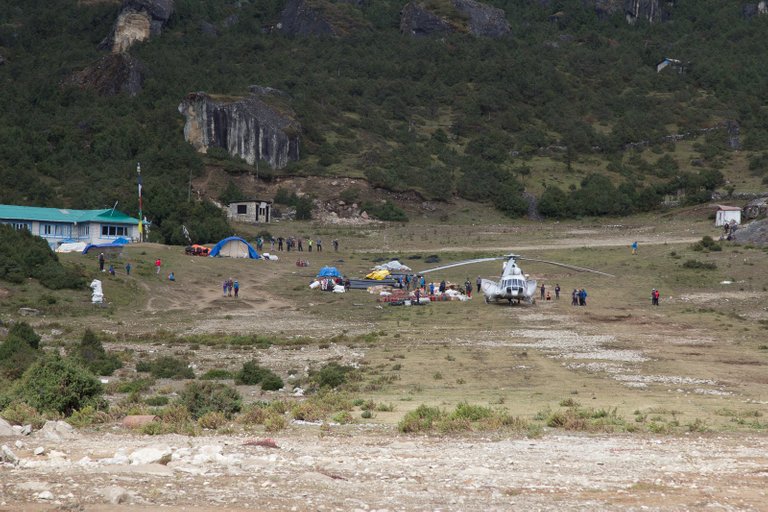
After the most expensive glass of coke on the whole trip, we made our way back down to Namche via what used to be the worlds highest airport. The runway isn't used anymore but helicopters land there frequently.
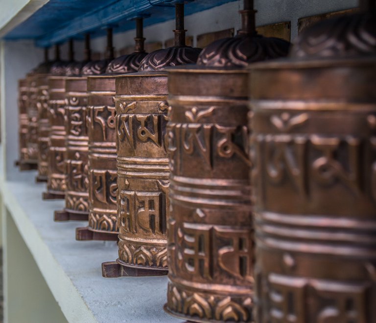
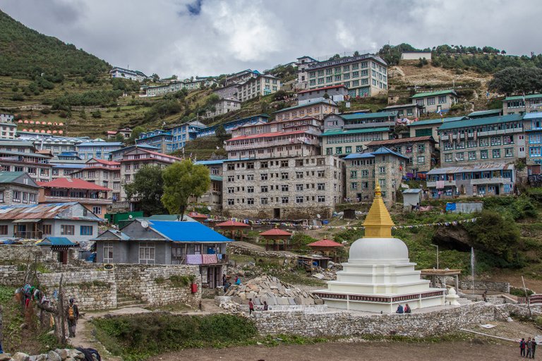
After a rest and acclimatisation day in Namche (with more shopping and the best Nepali milk tea of the whole trip), the next couple of days were spent trekking from Namche to Machhermo via Dole. Both of these days were pretty much uphill all the way and arriving in Machhermo puts you at an altitude of 4470m. At this altitude, AMS (acute mountain sickness) can start to show up - breathing becomes harder and you can get headaches and lose your appetite. I was worried about this as, when we climbed Kilimanjaro two years ago, I had real issues above about 3500m. However, this time I seemed to be doing well and didn't really feel any effects at all.
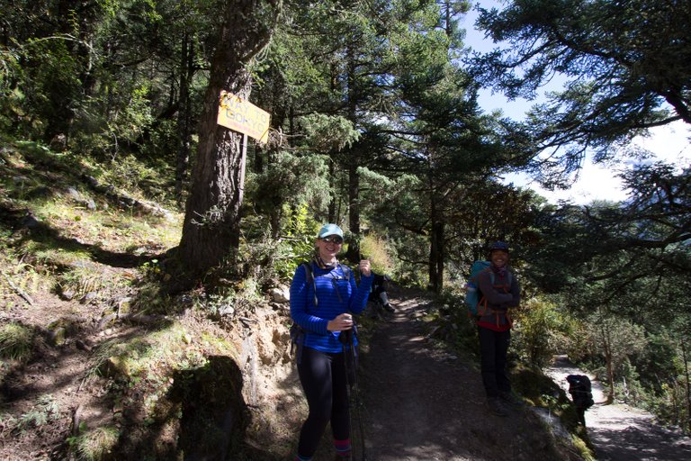
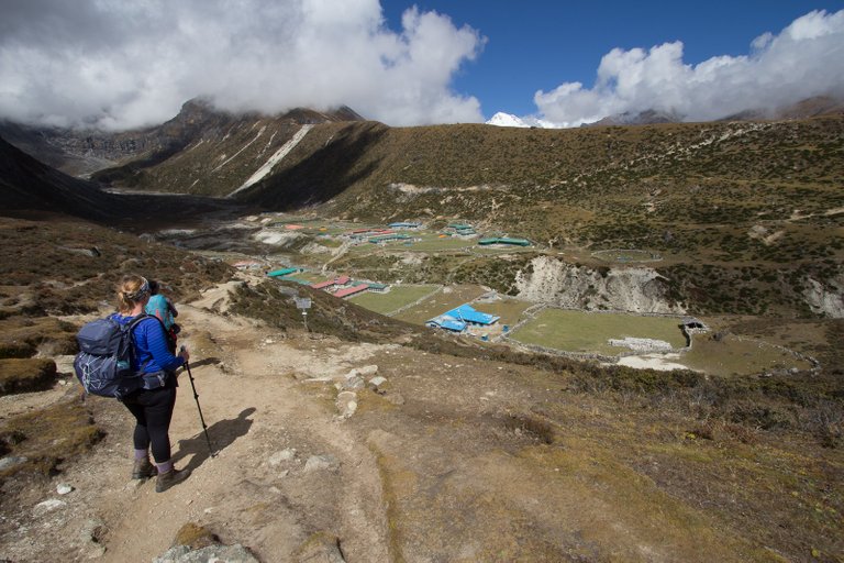
We would stay in Machhermo for 2 days to acclimatise, and during this time we did a really lovely acclimatisation trek during which we took some pretty nice photos.
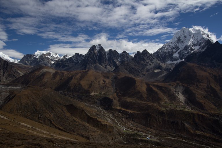
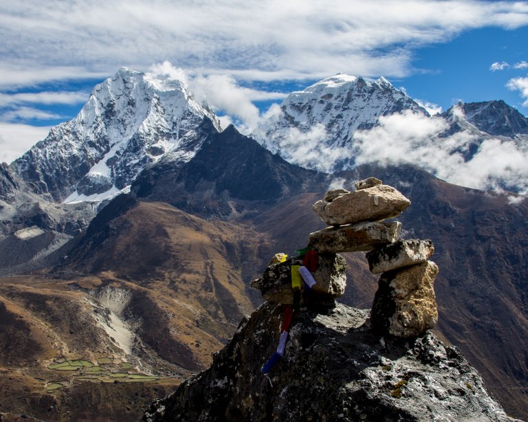
On leaving Macchermo we would then hike to a village called Gokyo which is situated on the most beautiful lake. Unfortunately, it rained the whole day (and in fact it snowed for a short while in the morning) and on arrival, it was really misty. It didn't help that Charlene was also now starting to feel a little bit ill for some reason and hadn't been able to eat her breakfast. Little did we know at this point how things would get harder and harder over the next few days and how it would affect our attempt to get to Everest Base Camp.
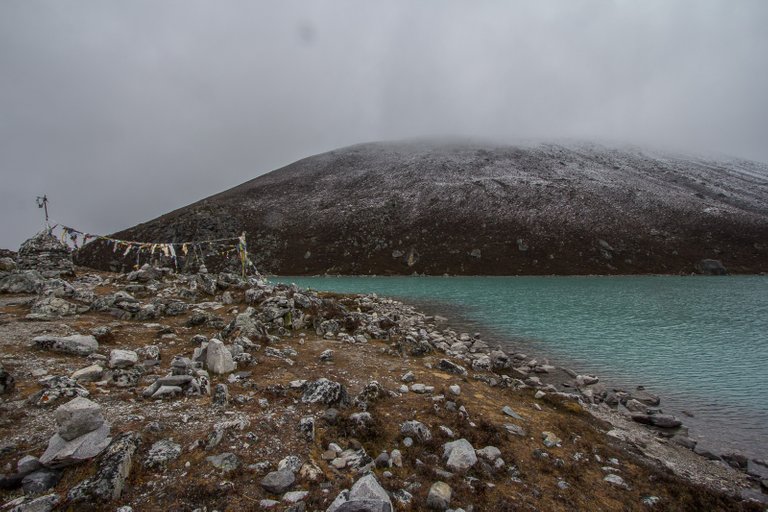
In the next part of this story, we will climb Gokyo Ri and make our way towards Everest Base camp over the Cho-La pass which would turn out to be one of the hardest days trekking I have ever done.
Thanks for looking
Mark
Wow, it is so interesting to here about your travels to Nepal. I wasn't there yet it strikes me how hard it is even to get to Mount Everest Base Camp.
Thank you for sharing your struggles and memorable moments with us!
Upvoted and resteemed by the @Climbing-Trail!
The @Climbing-Trail is an account dedicated to give climbing, alpinism and hiking a plattform here on Steemit. It is curated by @HaTo.
Great write up Mark :)
I am so jealous... i would love to see that. I love the views you showed. .. thank you for sharing ;)
Peace, Abundance, and Liberty Network (PALnet) Discord Channel. It's a completely public and open space to all members of the Steemit community who voluntarily choose to be there.Congratulations! This post has been upvoted from the communal account, @minnowsupport, by markangeltrueman from the Minnow Support Project. It's a witness project run by aggroed, ausbitbank, teamsteem, theprophet0, someguy123, neoxian, followbtcnews/crimsonclad, and netuoso. The goal is to help Steemit grow by supporting Minnows and creating a social network. Please find us in the
This post has received a 0.63 % upvote from @drotto thanks to: @banjo.
Congratulations @markangeltrueman! You have completed some achievement on Steemit and have been rewarded with new badge(s) :
<p dir="auto"><a href="http://steemitboard.com/@markangeltrueman" target="_blank" rel="noreferrer noopener" title="This link will take you away from hive.blog" class="external_link"><img src="https://images.hive.blog/768x0/https://steemitimages.com/70x80/http://steemitboard.com/notifications/voted.png" srcset="https://images.hive.blog/768x0/https://steemitimages.com/70x80/http://steemitboard.com/notifications/voted.png 1x, https://images.hive.blog/1536x0/https://steemitimages.com/70x80/http://steemitboard.com/notifications/voted.png 2x" /> Award for the number of upvotes received <p dir="auto">Click on any badge to view your own Board of Honor on SteemitBoard.<br /> For more information about SteemitBoard, click <a href="https://steemit.com/@steemitboard" target="_blank" rel="noreferrer noopener" title="This link will take you away from hive.blog" class="external_link">here <p dir="auto">If you no longer want to receive notifications, reply to this comment with the word <code>STOP <blockquote> <p dir="auto">By upvoting this notification, you can help all Steemit users. Learn how <a href="https://steemit.com/steemitboard/@steemitboard/http-i-cubeupload-com-7ciqeo-png" target="_blank" rel="noreferrer noopener" title="This link will take you away from hive.blog" class="external_link">here!