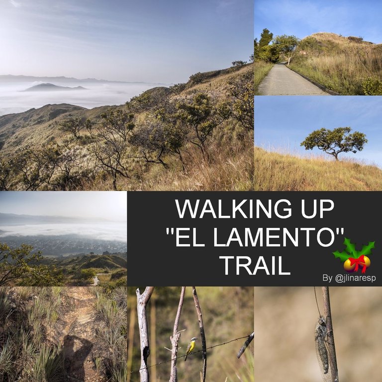
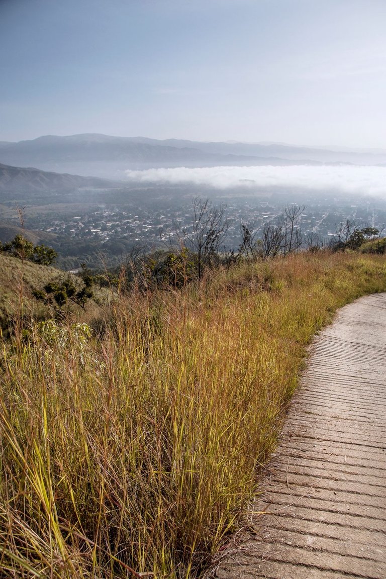
A little after 6:30 AM this Christmas morning, I had already left the paved streets of the town of Montalbán behind and was heading up the dirt road that ascends towards the mountains located to the east... The night before, I said goodbye to my family after the Christmas dinner and while they were sharing with games, music and songs, I was sleeping with my dogs and cats so that they would not be scared by the noise of the fireworks... So at 5:00 AM when many in the village were ready to sleep after the party, I was standing sipping a steaming coffee while waiting for the arrival of the first rays of the sun and thus begin my hike which I intended to culminate crossing a trail called by the people here “El Lamento” (The Lament)...
Un poco después de las 6:30 AM de esta mañana de navidad, ya había dejado atrás las calles pavimentadas del pueblo de Montalbán y me dirigía por el camino de tierra que asciende hacia las montañas ubicadas al Este... La noche anterior, me despedí de mis familia después de la cena navideña y mientras ellos se dedicaban a compartir entre juegos, música y cantos, yo me dediqué a dormir con mis perros y mis gatos para que no se asustasen por el ruido de los juegos pirotécnicos... Así que a las 5:00 AM cuando muchos en el pueblo se disponían a dormir después de la fiesta, yo estaba de pie saboreando un café humeante mientras esperaba la llegada de los primeros rayos del sol y así comenzar con mi ascenso el cual pretendía culminar atravesando un sendero llamado por las personas aquí "El Lamento"...
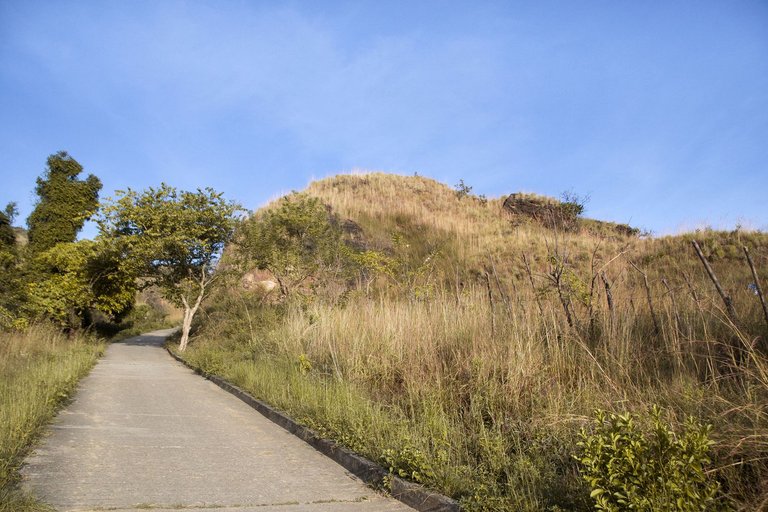
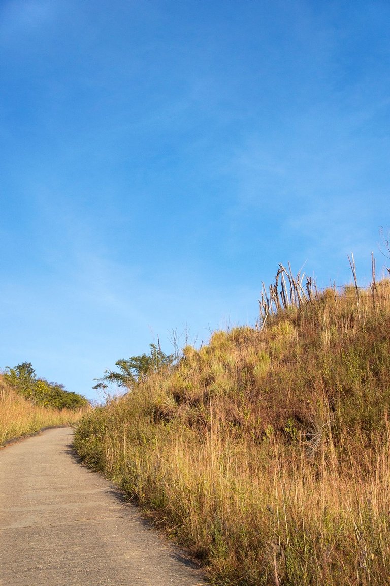
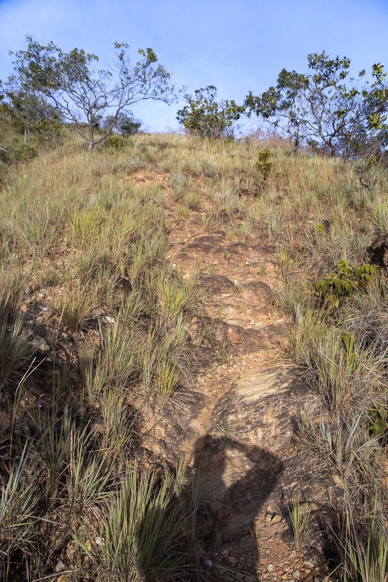
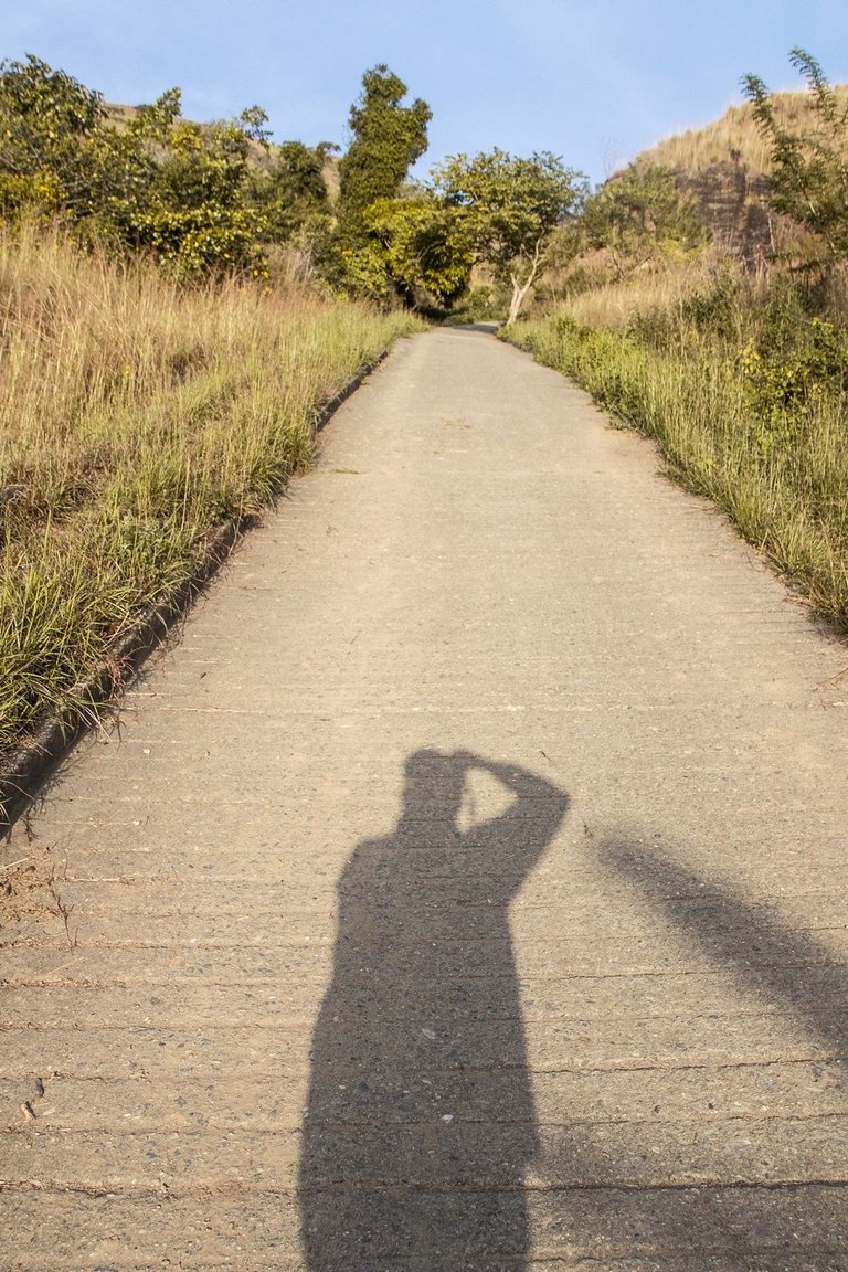
The entrance to the trail is barely visible at the end of one of those long stretches of road that have been covered with concrete to prevent them from sliding down during the rainy season... The trail is about 900 meters long and technically serves as a shortcut to save a long stretch of walking on the main road, in exchange for a frankly overwhelming slope, being such that in some parts it is almost necessary to use hands and legs to climb. I confess that I had not climbed here since I was a teenager and had forgotten the existence of this trail. But in recent days during a conversation with a friend who trains for long distance races, he told me that this trail still existed and was used by him and others for intensive training... That's how I got the idea in my head to come here!...
La entrada a el sendero es apenas visible al final de uno de esos largos tramos de camino que han sido recubiertos con concreto para evitar que se deslaven durante la época de lluvia... El sendero tiene una longitud cercana a los 900 metros y técnicamente sirve como atajo para ahorrarse un largo trecho de caminata por el camino principal, a cambio de una inclinación francamente abrumadora, siendo tal que en algunas partes casi es necesario usar manos y piernas para poder ascender. Confieso que no había ascendido por aquí desde mi adolescencia y había olvidado la existencia de este sendero. Pero en días recientes durante una conversación con un amigo que entrena para carreras de fondo, me dijo que este sendero aún existía y era usado por él y otras personas para entrenamientos intensivos... ¡Así fue como se me metió en la cabeza la idea de venir aquí!...
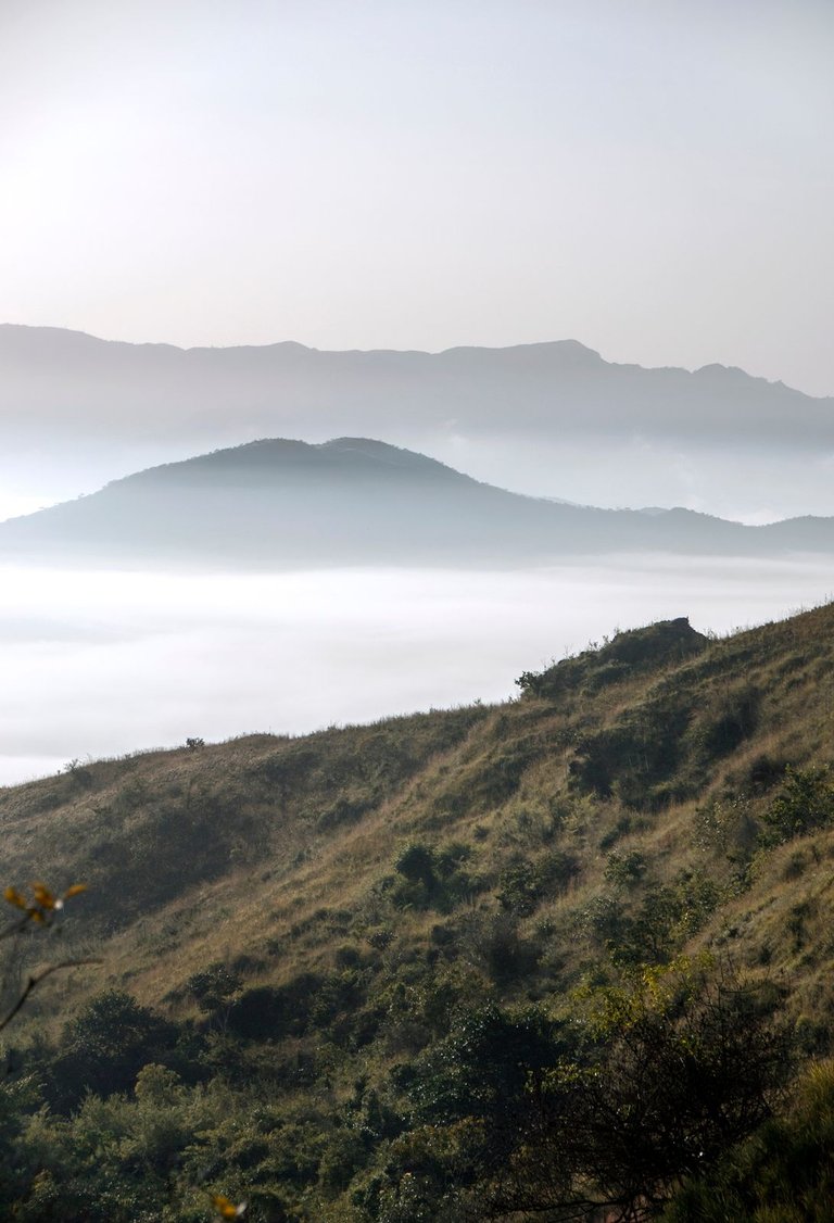
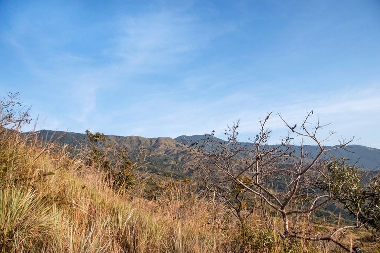
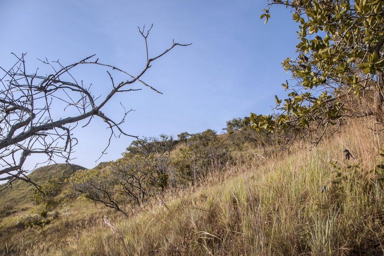
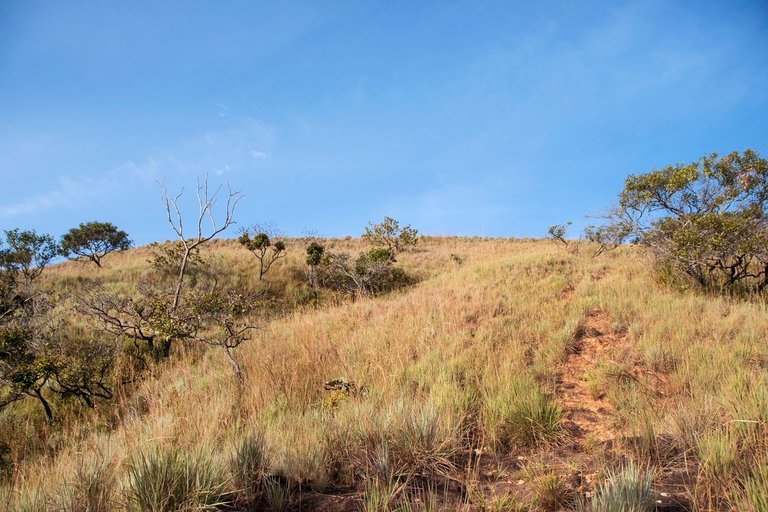
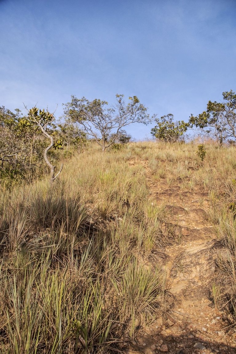
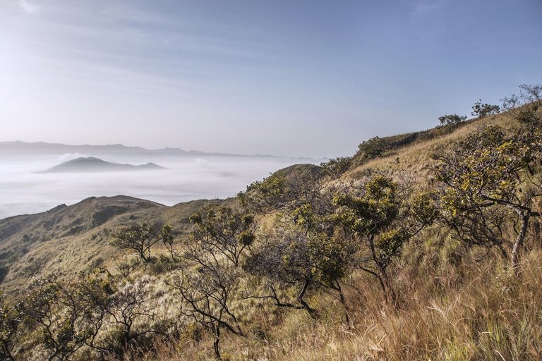
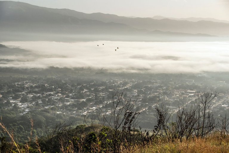
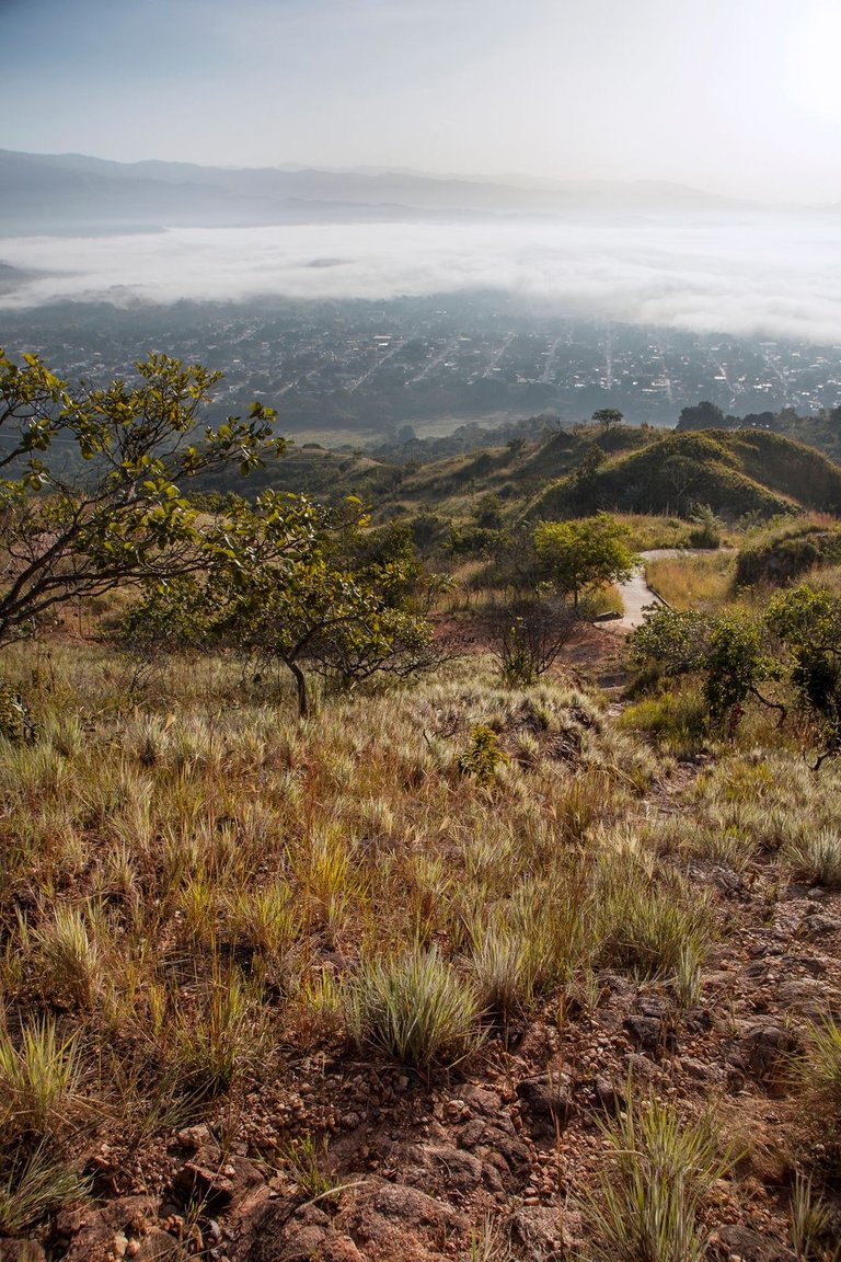
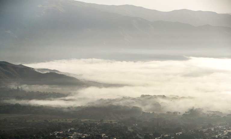
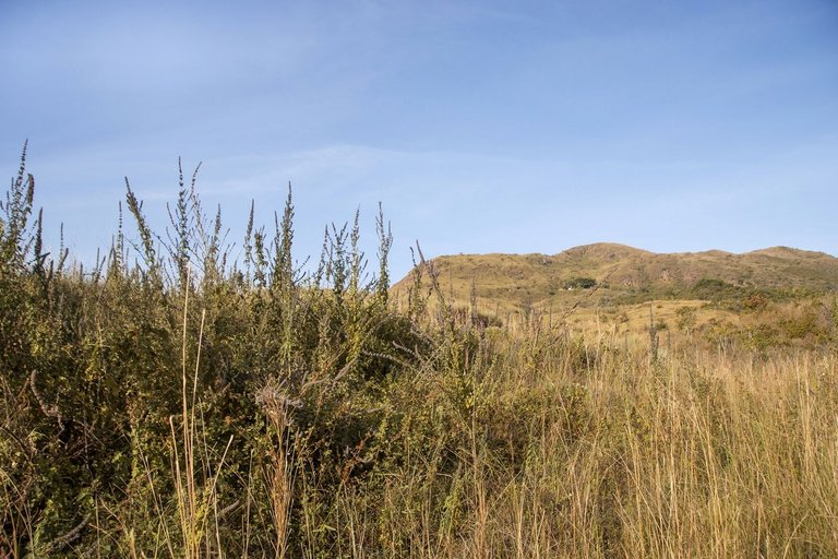
I confess that when I got to the beginning of the trail and saw how absurdly steep it was, I was about to give up and continue along the main road. But the morning was clear, the sky was blue with some very faint white clouds and the fog was over the valley trying to cover the central part of the town but without succeeding, so all this promised to provide interesting pictures and I wanted to take these photos along my journey through this trail called “El Lamento”... Obviously I continued ahead and after a hundred meters I understood perfectly why they gave its name to this trail. I have to confess that I almost fainted a couple of times and I even thought that a better name for this trail could be “The Scream” and immediately the famous painting by Edvard Munch with that name came to my mind... :)
Confieso que cuando llegué al inicio del sendero y observé lo absurdamente inclinado de este, estuve a punto de desistir y continuar por la carretera principal. Pero la mañana estaba despejada, el cielo era azul con algunas nubes blancas muy tenues y la niebla estaba sobre el valle intentando cubrir el casco central del pueblo pero sin lograrlo, así que todo esto prometía brindar fotografías interesantes y quería hacer estas fotos a lo largo de mi recorrido por ese sendero llamado "El Lamento"... Obviamente continué adelante y después de un centenar de metros comprendí perfectamente el porqué le dieron su nombre a este sendero. He de confesar que estuve a punto de desmayarme un par de veces e incluso llegué a pensar que un mejor nombre para este sendero podría ser "El Grito" y de inmediato se me vino a la mente la famosa pintura de Edvard Munch con ese nombre... :)
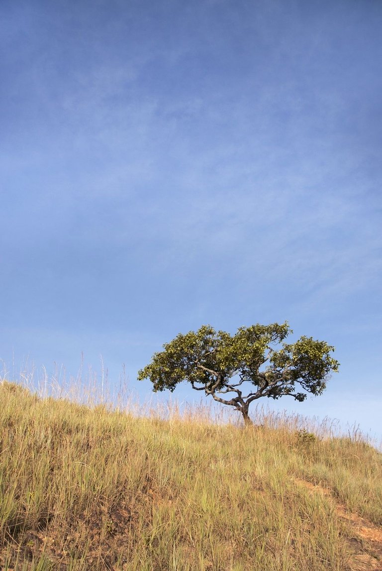
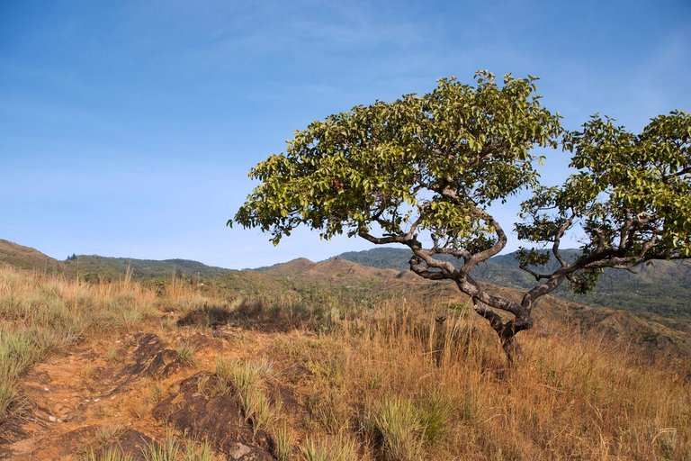
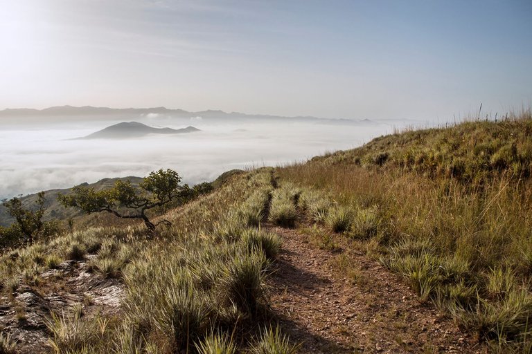
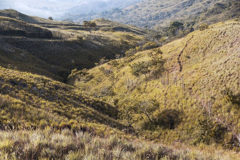
My friend who recommended me to do this ascent route, also warned me that during the last 200 meters or so, the trail would disappear and the slope would become steeper and everything would be covered with grass. So - my friend also said - the only reference point at that time would be a solitary cup-shaped tree that seemed to protrude from the terrain and which marked the end of the steep ascent. So when I looked at that little tree there, I knew right away that I had “Survived the Lament” and could come home with a handful of lovely photos. So it was that after resting for half an hour and breathing the mountain air, I began the descent back to town along the main road...
Mi amigo quien me recomendó hacer esta ruta de ascenso, también me advirtió que durante los últimos 200 metros aproximadamente, el sedero desaparecía y la pendiente se hacía mayor ademas de estar todo cubierto de hierba. Entonces -dijo también mi amigo- que el único punto de referencia en ese momento sería un solitario árbol en forma de copa que parecía sobresalir del terreno y el cual marcaba el final del pronunciado ascenso. Así que cuando miré ese pequeño árbol allí, supe de inmediato que había "sobrevivido" a "El Lamento" y que podría llegar a casa con un puñado de encantadoras fotos. Así fue como después de descansar durante media hora y respirar el aire de la montaña, comencé el descenso hacia el pueblo por la carretera principal...
Obviously this is a trail which, with proper training, can be more easily traversed. But for me with my 10 kg overweight and my just recently resumed efforts to improve my fitness, it's an interesting challenge and I'm happy to have done it and share my experience with you here on #Hive as well as all these pictures that I love to take... ;)
Obviamente que este es un sendero el cual teniendo un entrenamiento adecuado, puede ser transitado de una forma más fácil. Pero para mi con mis 10 Kg de sobre peso y mi apenas recientemente retomado empeño para mejorar mi condición física, es un desafío interesante y me siento encantado de haberlo hecho y además compartir mi experiencia con ustedes aquí en #Hive junto con todas estas fotografías que tanto me gusta hacer...
Thank you very much for your visit and appreciation!
¡Muchas gracias por pasar y apreciar!
ADDITIONAL TECHNICAL NOTE: Photographs captured with my Nikon D7000 DSLR camera in RAW format, then processed in Adobe Camera RAW for adjustments regarding light, sharpening, contrast and depth... They were then exported to JGP format on which minor modifications such as straightening and adding watermarks were carried out using PhotoScape 3.6.3.
NOTA TÉCNICA ADICIONAL: Fotografias capturadas con mi cámara DSLR Nikon D7000 en formato RAW, procesadas posteriormente en Adobe Camera RAW para ajustes relativos a luz, afilado, contraste y profundidad... Luego fueron exportadas a formato JGP sobre el cual se llevaron a cabo modificaciones menores como enderezado y agregado de marcas de agua usando PhotoScape 3.6.3.
"We make photographs to understand what our lives mean to ourselves." - Ralph Hattersley.
"Hacemos fotografías para comprender lo que nuestras vidas significan para nosotros mismos." - Ralph Hattersley.

Lens: Sigma 18-200mm f3.5-6.3 II DC OS HSM
Lente: Sigma 18-200mm f3.5-6.3 II DC OS HSM
This post was shared and voted inside the discord by the curators team of discovery-it
Join our Community and follow our Curation Trail
Discovery-it is also a Witness, vote for us here
Delegate to us for passive income. Check our 80% fee-back Program
You can check out this post and your own profile on the map. Be part of the Worldmappin Community and join our Discord Channel to get in touch with other travelers, ask questions or just be updated on our latest features.
¡Bellísimas tomas! Valió el esfuerzo pegar ese "Grito" para obtenerlas jajaja
Hahaha :)) Ya les dije a mi amigo que es runner que a ese "atajo" lo que le toca es cambiarle el nombre a "El Grito"!!! Saludos, Feliz Navidad y gracias por apreciar amiga @sofathana!!!
😅😂
¡Y Feliz Año Nuevo! 🍾🤗
This is really an fantastic work 👏
THNAKS a lot @albephotos5 friend!
Good morning, mate You managed to capture this moment very well, the image you shared is very beautiful.
THANKS @riyat friend!
You're welcome, keep up the good work 💪
Are these the same roads to go to El Peñon? The truth is that I don't remember how to get there, it's been 12 years since I went to that mountain. I hope to be able to visit those places again.
!discovery 40
Yes my friend, that trail is on one of the margins of the main road to go up to “El Peñón”... Come on!... Bring the whiskey and I'll bring the ice! hahaha :))
Thanks for supporting and appreciating!... Merry Chritsmas @wilfredocav!
!PIZZA